

How Saudi Tracked 2026 Hajj With 9 Million Traffic Images
By Faiza Musa Adamu
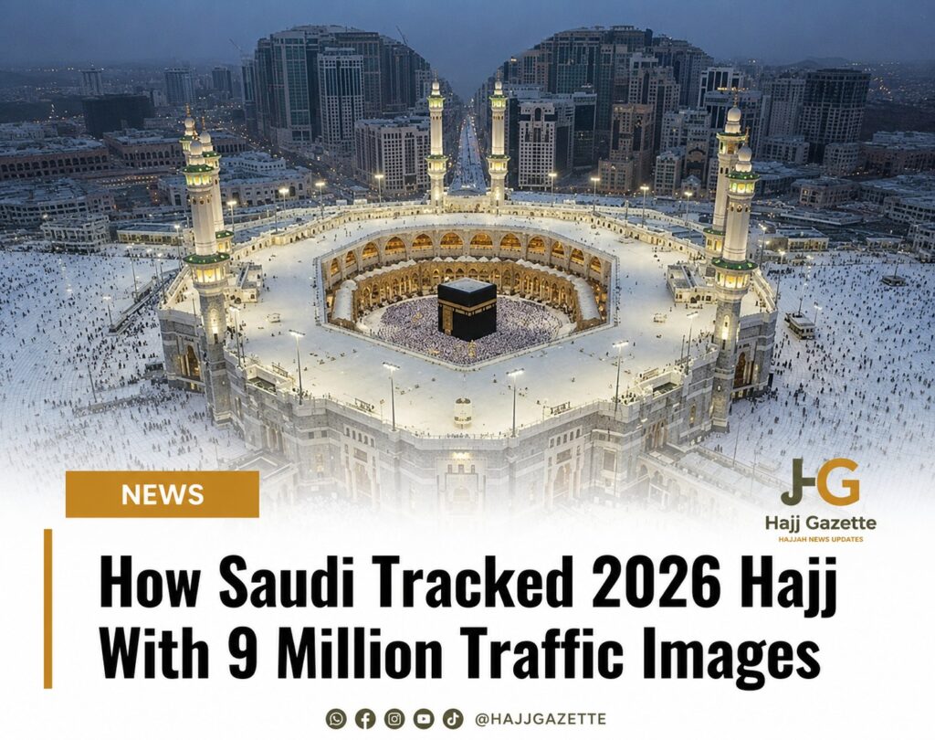
Saudi Arabia relied on an advanced digital monitoring system that processed more than nine million traffic images to track pilgrim movement, manage transport and improve service delivery during the 2026 Hajj season.
The Royal Commission for Makkah City and the Holy Sites disclosed that it deployed geospatial data, business intelligence and interactive digital maps throughout Hajj 1447 to coordinate roads, essential services and crowd movement across Makkah and the Holy Sites.
According to the commission, the system managed information on more than 20,000 landmarks, locations and services through over 20 interactive maps covering the Holy Sites, the central area of Makkah and the Masjid al-Haram.
The commission’s Data Management Office integrated the mapping platform with 30 government entities, allowing operational teams to monitor key service indicators and share real-time spatial information to support decision-making during the pilgrimage.
Its “Hudhud” mapping teams processed more than 4,400 geospatial points during Hajj, updating data on over 3,250 road segments and 70 road closures. Every update was reflected on the digital maps within 60 seconds, ensuring authorities had access to the latest road information.
How Saudi Tracked 2026 Hajj With 9 Million Traffic Images
Officials also reviewed 8,248 Hajj-related points of interest on the “Baladi” mapping platform and added 3,119 new locations across the Holy Sites to strengthen navigation and operational planning.
To monitor traffic conditions, the commission operated a situational awareness platform covering more than 1,400 kilometres of roads. The system processed over 350,000 geospatial data points, captured nine million traffic images and linked 419 bus stations to live transport schedules in real time.
Pilgrims accessed the information through a Digital Spatial Guidance platform featuring 11 maps covering more than 5,000 locations across categories such as health, transport, education, tourism and religious services.
The guidance platform recorded 537,197 uses during the pilgrimage, with the Masjid al-Haram map attracting 233,590 users, making it the most frequently accessed digital guide.
The commission said it will continue updating its digital maps, road data and integrated geospatial systems to enhance planning and operational efficiency for future Hajj seasons.